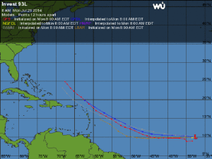
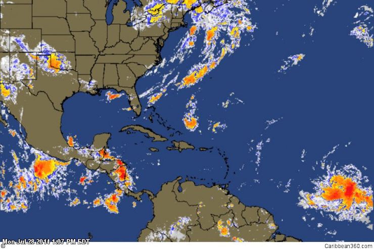
 BRIDGETOWN, Barbados, Monday July 28, 2014 – A tropical wave located located near 10°N, 33°W at 8 am EDT Monday, about 500 miles southwest of the Cape Verde Islands, is producing disorganized cloudiness and thunderstorms.
The National Hurricane Center designated the disturbance, Invest 93L, early Monday morning and environmental conditions in the Atlantic are conducive to futher development. The system has a high chance of developing into a strong tropical storm either Friday or Saturday.
According to Dr Jeff Masters at WeatherUnderground, “infrared satellite images showed that the system’s heavy thunderstorm activity had increased significantly since Sunday.”
The National Hurricane Centre reports the location of Invest 93L at 10.0N 32.5W, and is curretly moving westward at 15 mph.
Source: News: Caribbean360
http://www.dailymotion.com/video/x1w53fe_noaa-predicts-near-or-below-normal-2014-atlantic-hurricane-season_news


